Services Offered:
Specialists in Mine, Land & Engineering Surveys. View all our services below.___________________________________________________________________________________________________________________________________

Land Surveys
__________________________________________
-
Topographical surveys
-
Deformation monitoring
-
Establishment of survey control points
-
Precise Levelling
-
Setting out of boundaries
- Subdivision of properties
- As built plans
- Cadastral Survey
- Aerial photography and drone surveys
- Long and cross Sections
Mine Surveys
__________________________________________
- Full Time / Part Time Surveyor’s Legal Appointment
- Compiling and custodian of statutory mine plans
- Weekly / Monthly Measurements
- Installation of underground pegs / grade pegs
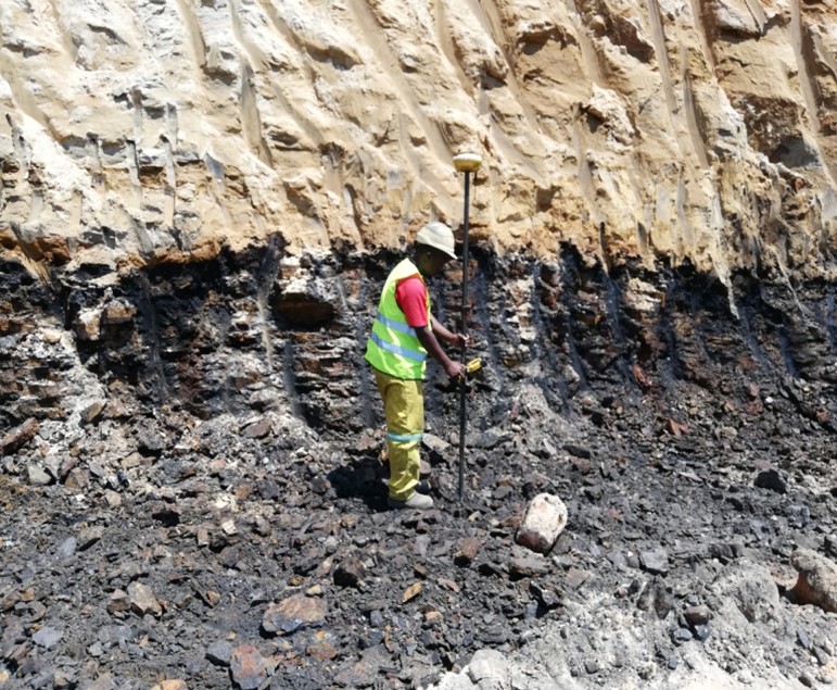
- Open cast/ pit Surveys
- Subsidence monitoring
- Offsets Calculations
- Resurveys / Check Surveys
- Stockpiles / volume calculations
- Mineral exploration surveys / Boreholes Survey
- Blasting Profiles Mapping
- Aerial photography and drone surveys
- Precise Levelling
- Volumetric Surveys


Engineering Surveys
_______________________________________________________________
- Detailed Topographical surveys
- Establishment / verification of survey controls
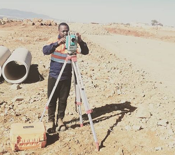
- Surveying and Setting out of roads and earth works
- Precise Leveling
- Deformation monitoring
- As-built Survey
- Aerial photography and drone surveys
- Buildings and Power-lines surveys
